
AmritaKripa
Dynamic Regional
Multi-Hazard Risk
Management
Geospatial Platform
Monitor·Anticipate·Manage
Real-time geospatial intelligence for landslide, flood, and extreme rainfall risk across India's most vulnerable regions.
Core Capabilities
What the Platform Does
An integrated geospatial environment combining real-time satellite feeds, AI-driven risk modelling, and operational decision-support tools for disaster risk reduction.
- Real-time satellite and weather feeds
- Live regional hazard inventories
- Automated weather station integration
- Automated susceptibility analysis
- Dynamic risk heatmaps updated hourly
- Terrain, geology and land-use fusion
- Real-time rainfall threshold detection
- 1 to 15 day antecedent rainfall windows
- Soil saturation and slope instability alerts
- Evacuation routing and preparedness tools
- Incident simulation and buffer analysis
- CSV export for at-risk zone features
Gallery
Platform in Action
Live views from the Amritakripa dashboard deployed in Kodagu, Karnataka, showing real-time risk maps and the incident analysis tool.

Real-Time Risk Management Tool
The Real-Time Risk Management Tool is a geospatial decision-support system designed to monitor, analyse, and communicate evolving multi-hazard risk conditions in near real time. The tool integrates live environmental data streams, hazard thresholds, susceptibility information, and exposure datasets to dynamically assess risk levels across administrative units or hydrological basins.

Real-Time and Antecedent Risk Visualization
The platform continuously integrates live rainfall data with antecedent rainfall accumulation windows to monitor evolving hazard conditions. By combining current triggers with past rainfall build-up, the system identifies areas where landslides and floods are more likely to occur. These dynamic maps update automatically, enabling early warning, rapid situational awareness, and informed decision-making for disaster risk management.
Deep Earth Probe
Advanced subterranean sensors designed to measure soil moisture, pore water pressure, and deep earth movement to detect the earliest warning signs of slope failure.
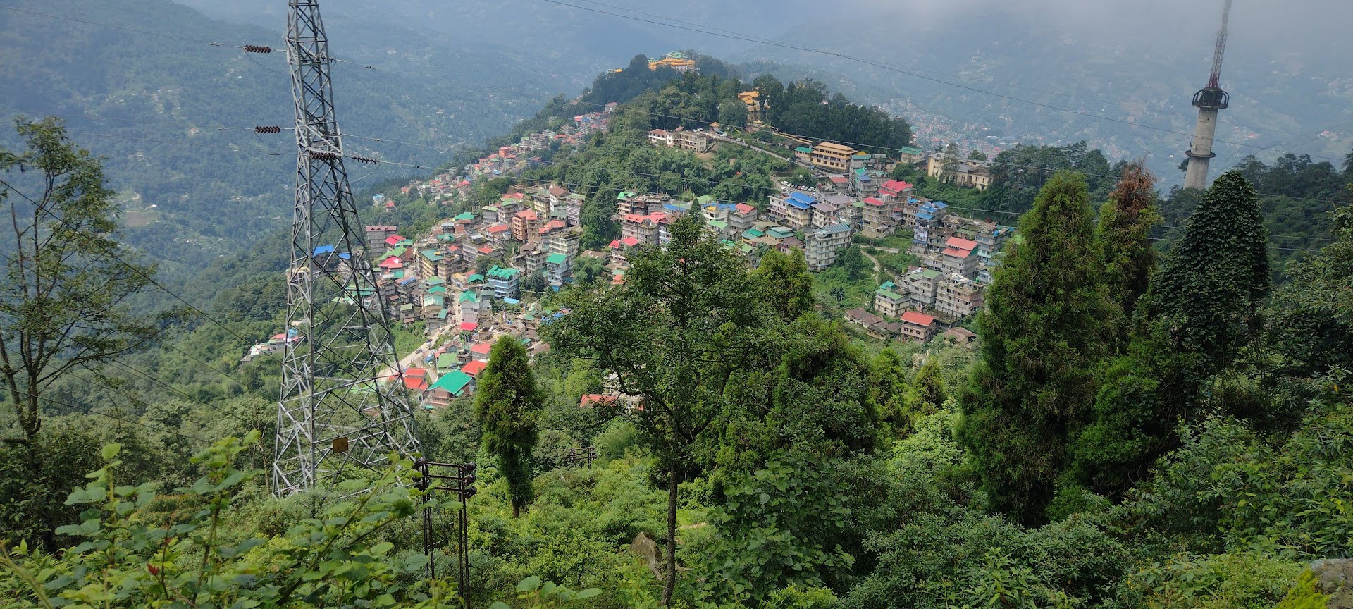
Elements at Risk, Chandmari, Sikkim
Highlighting the vulnerability of densely populated hillside communities, where homes, infrastructure, and lives are directly threatened by potential geological instability.
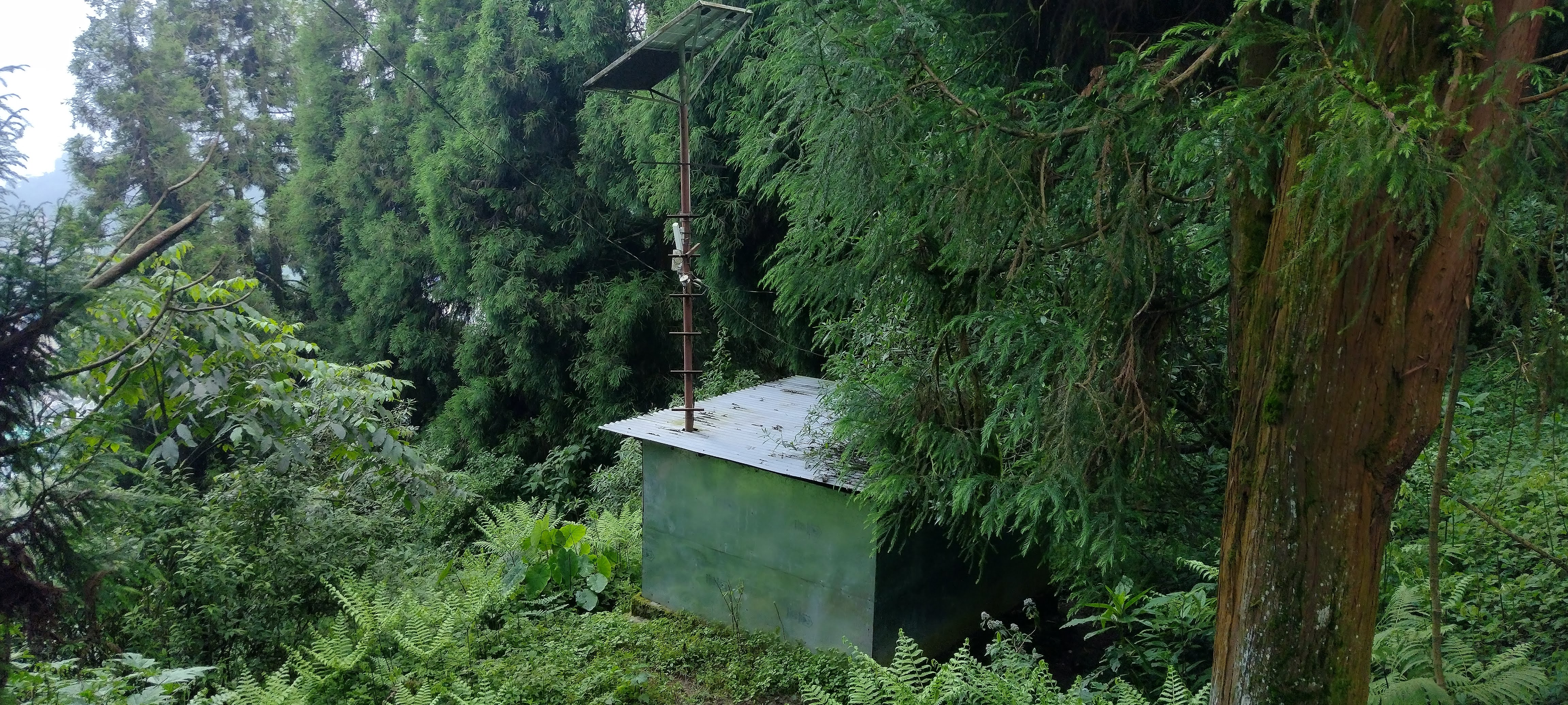
IoT Devices for Landslide Forecasting
Real-time monitoring systems that continuously collect and transmit critical environmental data, enabling predictive analytics and timely early warnings for at-risk areas.
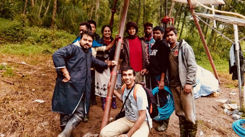
Landslide Team
Our dedicated team of researchers and engineers working on the ground to deploy, maintain, and analyze data from our extensive landslide monitoring networks.
Access Options
Get Started
A Citzen-Science Mobile App for real-time hazard awareness, alerts, and post-disaster support in at-risk regions.
- Real-time hazard notifications
- Local risk level display
- Evacuation route guidance
- Crowd-sourced incident reporting
- Request/offer emergency support
Web GIS Platform Decision-support environment for authorised district officials and emergency response departments.
- Gram Panchayat-level risk maps
- Antecedent and real-time analysis
- Incident simulations
- Operational planning and response support